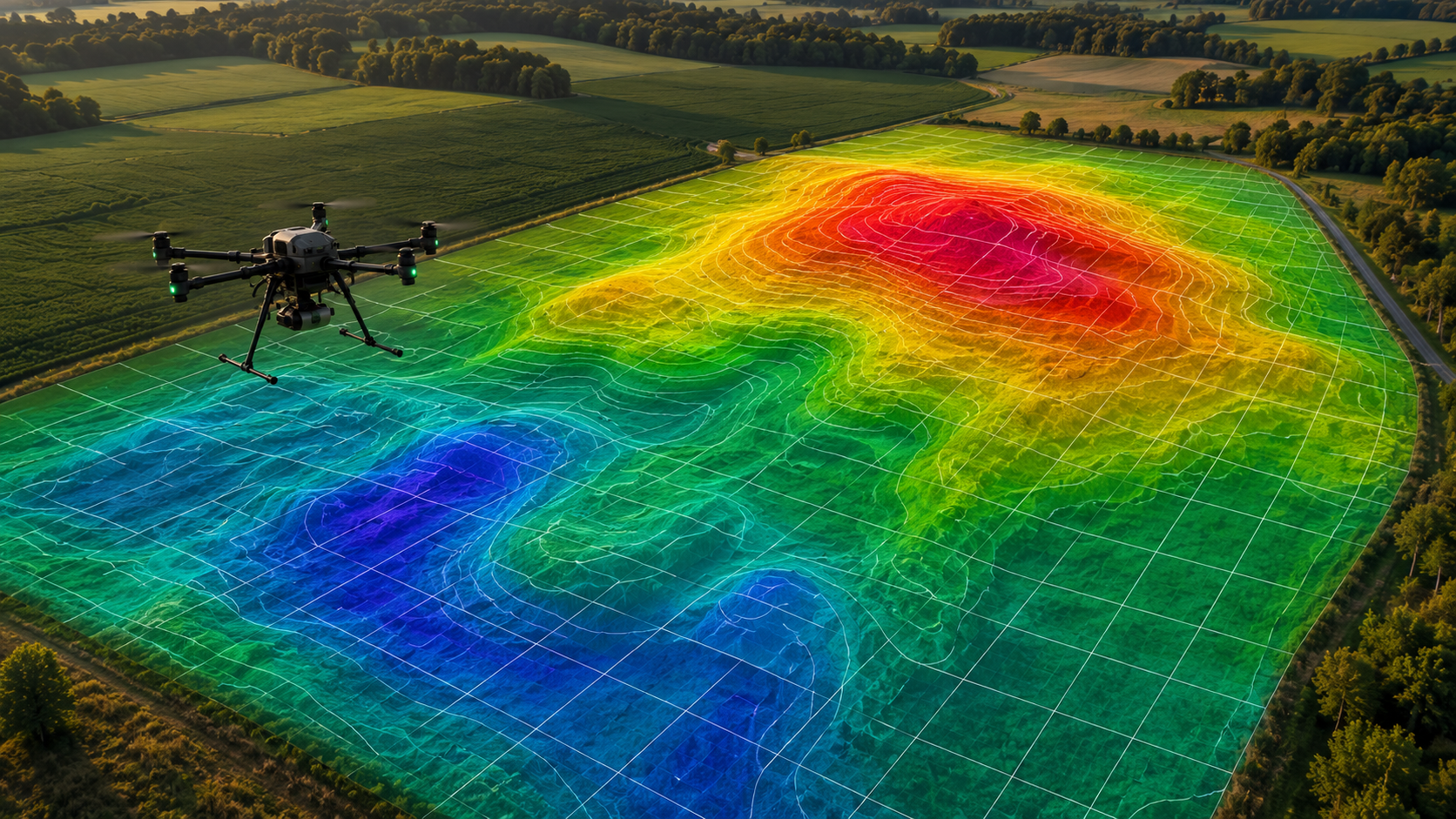
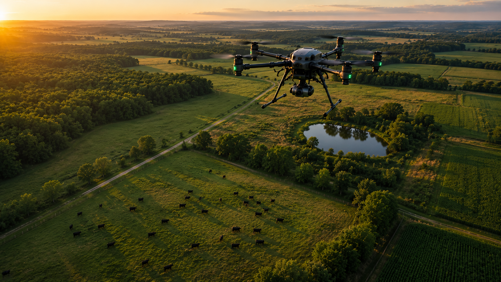
Vector Aeroworx delivers mission-ready drone solutions across agriculture, land management, and emergency operations. Our drone systems use Real Time Kinematic (RTK) positioning for high-accuracy data collection. Built for accuracy. Designed for impact.
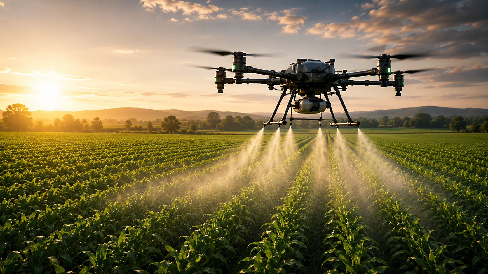
Our advanced drones deliver precise aerial spraying for agriculture and pasture, maximizing efficiency while reducing waste and maintaining crop health across large fields.
Targeted aerial application for vegetation
Prescription workflow support for variable-rate spraying
Compatible with traditional boom sprayer operations
Reduce overlap, protect crops, and optimize yields
Interested in Flying Your Own Drone?
Have your own drone and want to fly for yourself? Ask me about CultiWiseand how to get started.
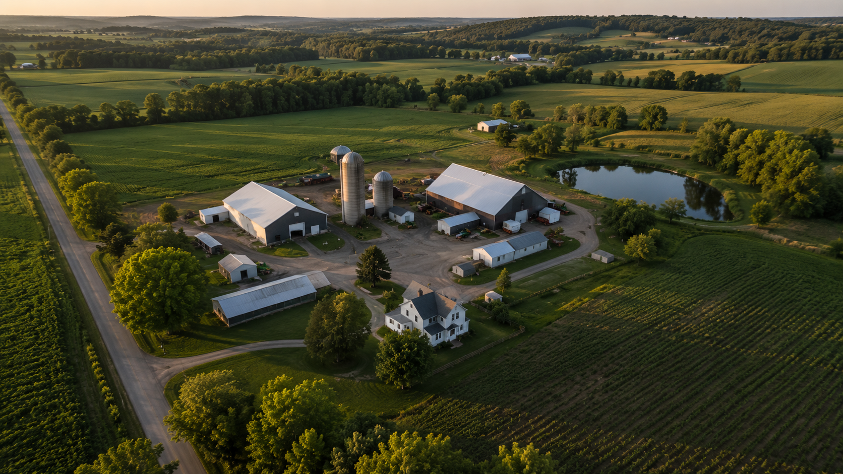
Capture high-resolution aerial imagery and video for farms, properties, and projects. Monitor progress, document assets, and make data-driven decisions with precision.
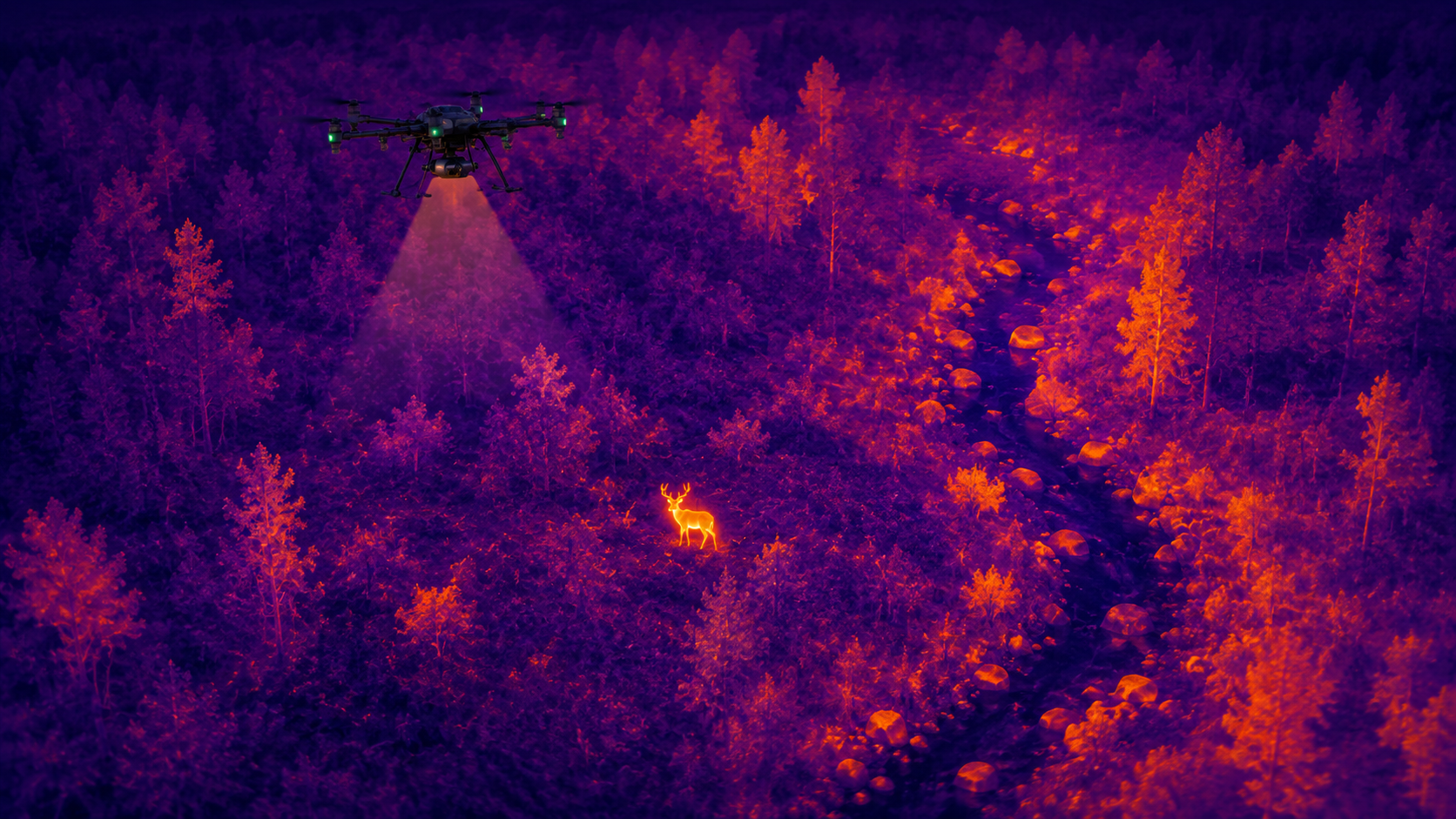
Rapidly locate and recover wildlife using thermal imaging and field scouting support. Ensure humane, safe, and efficient recovery operations in any terrain.
Generate detailed maps, 3D models, and elevation data using RTK-enabled drones. Support planning, analysis, and reporting with accurate geospatial intelligence.
Conduct crop and land monitoring using advanced aerial platforms. Track health, identify issues, and optimize large-scale operations efficiently and reliably.
Leverage Vector Aeroworx’s expertise and cutting-edge drone technology to enhance data collection, precision monitoring, and operational efficiency for all your projects.